Understanding the 30×30 Initiative and America’s Conservation Progress
Do you know which national park is closest to your home? How much of your state is woodlands? Scientists believe that the key to combating climate change and biodiversity loss begins with increasing protected land across the globe. In this article, we’ll explore protected lands and tree cover for each state and share how the 30×30 initiative can help mitigate the effects of climate change.
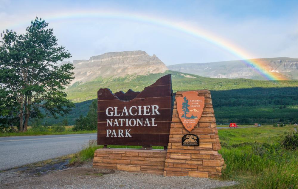
The United States has 63 parks that carry the “national park” name, but there are 431 national park sites across the nation.
Site land, in total, covers roughly 81 million acres (about 4% of the total 1.9 billion acres that make up America). The core 63 national parks are names that might sound familiar: Grand Canyon, Yellowstone, Yosemite, Zion, and Acadia. However, many other sites in the country are diverse in their designations: battlefield grounds, historical sites, memorials, monuments, preserves, trails, and more. See the full list here. Then learn about each of these site distinctions in the U.S. Department of the Interior’s blog, America’s Public Lands Explained.

Protected land provides a necessary habitat for wildlife, aids in the capture of carbon, and conserves natural beauty for humans to enjoy.
Globally, we are experiencing species loss at a rapidly increasing pace. Creatures simply no longer have a suitable amount of habitat to thrive. Unfortunately, the natural world is out of balance, resulting in health and environmental issues. Without enough land to sustain biodiversity, our planet’s natural balance will only be further disrupted. This is why it’s so important to preserve our planet’s wild places.
Most of the land in the US is privately owned. Privately owned land can be used in a variety of ways depending on zoning laws, without regard for the impact on natural habitats. The United States protected areas are controlled by different federal, state, tribal, and local level authorities and receive widely different levels of protection. Some are managed as wilderness while others allow commercial exploitation operations.
The international Biodiversity Plan’s 30×30 Initiative can help save our wild spaces.
In 2022, the United States under the Biden administration joined over 190 countries to sign the Kunming-Montreal Global Biodiversity Framework. Known as the Biodiversity Plan, it seeks to unite countries for a common international goal: to protect our ailing planet. One of the central tenets of this plan is to designate 30% of Earth’s land and ocean space as “protected” by 2030 – referred to as the 30×30 Initiative.
Conserved Land vs. Protected Land?
The 30×30 initiative makes a critical distinction between “conserved” land and “protected” land. According to the NPS, conserved land protects natural resources, while protected land seeks to protect landmarks, buildings, and objects from being used or destroyed. To reach our international goal, humanity needs to protect 30% of land and ocean areas as conserved wilderness.
The 30×30 initiative has garnered a lot of momentum. Today, 13 states claim over 30% of their land as “protected.”
This is great news! However, the definition of “protected” has been open for interpretation. America’s states still have additional opportunities to increase their conservation efforts and increase truly wild spaces by increasing their “conserved” land. “30 percent isn’t the end,” said Secretary of Commerce Gina Raimondo. “30 percent is the beginning. It’s setting a very strong foundation and we hope [it] will build the momentum for longer-term conservation to benefit current and future generations.”
So…How much of your state is protected?
The chart below highlights the amount of protected land in each state. The darker the state, the greater the percentage of land that is protected. Hover over each state to discover their ranking (1 is most protected, 50 is least protected), the percentage of state land that is protected, and the name of the largest protected site in that state.
Tree cover is also an important element for biodiversity and can support 30×30 efforts.
Trees are a rich resource that provides oxygen, stores carbon, provides shade, and stabilizes soil. Forests and woodlands also support animal life, provide building materials, and even have medicinal properties. Restoration of trees is one of the most effective strategies for climate change mitigation.
Explore tree coverage across the United States with our interactive map. It highlights the percentage of land that is wooded for each state, how many acres of forest cover that percentage converts to, as well as the state tree. Fascinating! The greener the state, the more covered the state is by trees.
Support the 30×30 Initiative and the rewilding of your state.
Check out your state by searching “wild forever” with your state name for a list of local initiatives you can support. Or check out the Old-Growth Forest Network to learn more about protecting old forests near you.
Take a virtual tour of our beautiful national parks! Click the images below for OPL’s exclusive Insiders Guide for each of the parks featured.

")


