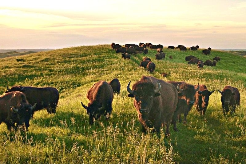
The hazardous environmental effects of climate change are impacting wildlife biodiversity around the world.
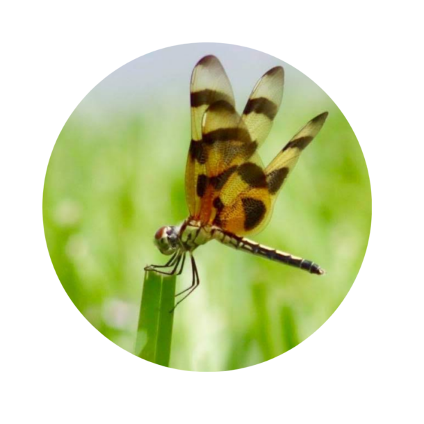
Did you know that there are over 10 million plant and animal species that share our Earth? Each plays a unique role in nature’s design. Bees and bats pollinate trees and plants, predators control prey, and trees control flooding and moderate our climate. But climate change is altering weather patterns and disrupting the delicate balance of biodiversity on our planet. It’s critical that we protect biodiversity before species become irrevocably altered.
Plants and animals are adaptable to environmental changes, but these shifts occur slowly over time. Unfortunately, climate change is rapidly outpacing many species’ ability to adapt.
Climate resilience is the innate ability of plants and animals to plan, prepare for, and respond to life-threatening events and changing climate conditions. One of the ways wildlife deals with climate changes is to relocate to more suitable nearby microclimates. The areas that form the best route to life-sustaining microclimates are referred to as climate corridors.
Unfortunately, human land development has caused Earth’s landscape to become fragmented. One of the ways humanity can correct this is by building wildlife bridges. These bridges are specifically designed for wildlife crossings, connecting habitats together and allowing safe passage for migrating species.
Select landscapes in the United States may be better suited to withstand the impacts of climate change.
Scientists at The Nature Conservancy (TNC) mapped out the landscapes in the United State that have the highest potential to withstand climate impacts. They created a roadmap of connected natural areas, called The Resilient and Connected Network Map, where plants and animals have the best chance to move away from climate threats. It’s a fascinating, interactive map packed with information that can guide us in conservation strategies to protect the biodiversity of the United States.
The TNC map is easy to use to learn about existing climate-resilient lands, and is a solid starting point for conservation efforts. There are many conservation strategies humanity could utilize, such as improved land management and road crossing migration.
Climate Resilient Corridor Spotlight: Altamaha River, GA
The Altamaha River, just south of Savannah, Georgia, is one of the largest rivers not dammed in the Eastern United States. The Nature Conservancy and its partners have worked to protect 42 miles of land along the river. The Altamaha River meanders through the grassy marshes. Eventually, the water rushes past a set of protected islands. Egg, Little Egg, and Wolf Islands (5,126 acres) are National Wildlife Refuge Lands. They are wildly beautiful and a sanctuary for local and migratory birds.

The good news is that there are climate-resilient habitats across the country.
TNC identified 46 areas covering 33% of the continental United States. Currently, 44% of this land is protected and will not be developed, with the remaining 56% still available for commercial development. It benefits us all to understand these climate-resilient lands and to protect and expand them.
To increase climate-resistant corridors we need to build more natural crossing points.
OPL recently highlighted inspiring natural wildlife crossings around the world. You’ll be amazed by these wildlife bridges. As citizens, we should support funding for wildlife road crossing projects, along with transportation improvements, to connect habitats together and support wildlife biodiversity.
Providing safe places for nature to thrive also benefits people.
Protecting biodiversity by providing safe places for nature to thrive also benefits us. It promotes clean drinking water, improves carbon storage (which helps fight climate change) and safeguards our beautiful landscapes. It is worth our time and energy. If we expand our climate-resilient corridors, we can position the United States for a better future.
Protecting biodiversity has never been so important.
Biological diversity, or biodiversity, is the variety of life on Earth, its evolution, its complex interrelationships, and their resulting self balancing ecosystems.
Discover the beauty of our natural world.
Feeling inspired to make a difference? Consider a gift to the World Wildlife Fund, an organization that protects populations of some of the world’s most ecologically, economically, and culturally important species.
Discover More
One Planet Life Insights draw from a vast array of data gathered from the most reputable sources in the world. We curate and compile this rich information into interactive, easy-to-navigate insight maps to help you better understand your community and the world around us.


